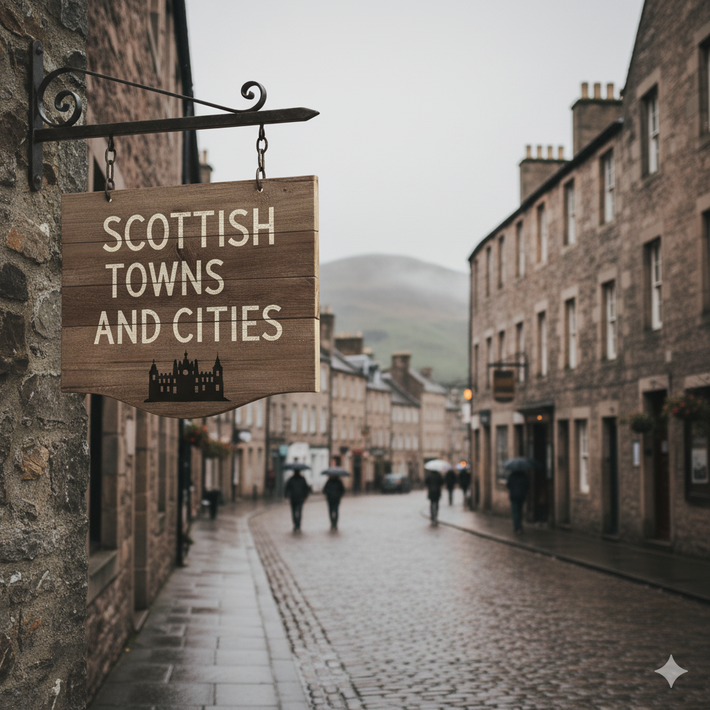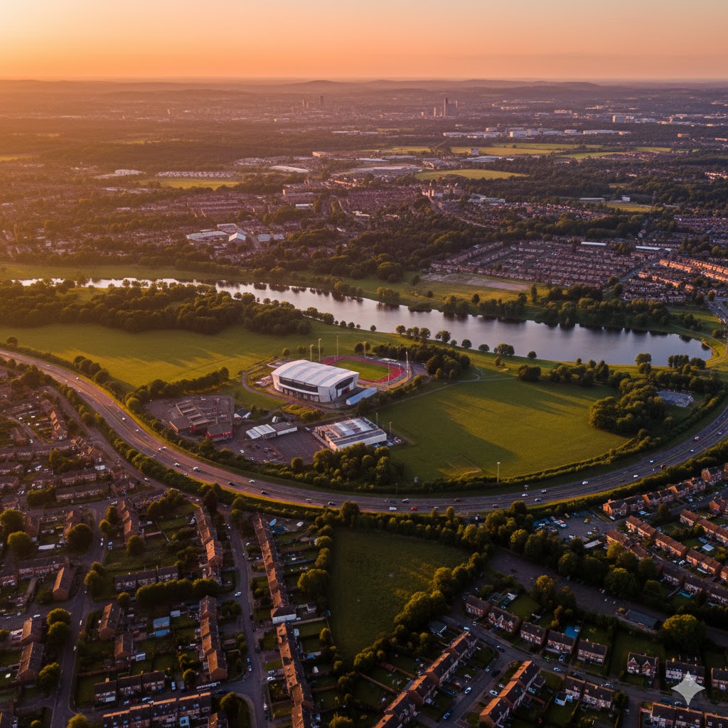
Motherwell (Scots: Mitherwall, is a town and former burgh in North Lanarkshire, Scotland, United Kingdom, south east of Glasgow.It has a population of around 32,120. Historically in the parish of Dalziel and part of Lanarkshire, Motherwell is the headquarters for North Lanarkshire Council. Geographically the River Clyde separates Motherwell from Hamilton to the west whereas the South Calder Water separates Motherwell from Carfin to the north-east and New Stevenston and Bellshill towards the north.
Motherwell is also geographically attached to Wishaw and the two towns form a large urban area in North Lanarkshire, with both towns having similar populations and strong community ties.
A Roman road through central Scotland ran along Motherwell’s side of the River Clyde, crossing the South Calder Water near Bothwellhaugh. At this crossing a fort and bath house were erected, but the Roman presence in Scotland did not last much later than this. Motherwell’s location in the Scottish Lowlands means that it would have been inhabited by the Britons. Motherwell’s name reportedly comes from a well, the Lady Well, formerly dedicated to the Virgin Mary. The site of this well is now marked by a plaque on Ladywell Road. The name “Moderwelt” appears on a map of Lanarkshire made by Timothy Pont some time between 1583 and 1611 and printed in the Netherlands in around 1652.
Please share me.

Discover more from WILLIAMS WRITINGS
Subscribe to get the latest posts sent to your email.