
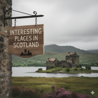


The mainland of Scotland comprises the northern third of the land mass of the island of Great Britain, which lies off the northwest coast of Continental Europe. The total area is 30,977 square miles (80,231 km2) with a land area of 30,078 square miles (77,901 km2), comparable to the size of the Czech Republic. Scotland’s only land border is with England, and runs for 96 miles (154 km) between the basin of the River Tweed on the east coast and the Solway Firth in the west. The Atlantic Ocean borders the west coast and the North Sea is to the east. The island of Ireland lies only 13 miles (21 km) from the south-western peninsula of Kintyre; Norway is 190 miles (305 km) to the northeast and the Faroe Islands, 168 miles (270 km) to the north.
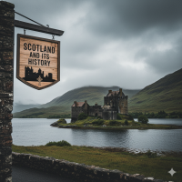
The territorial extent of Scotland is generally that established by the 1237 Treaty of York between Scotland and the Kingdom of England and the 1266 Treaty of Perth between Scotland and Norway. Important exceptions include the Isle of Man, which having been lost to England in the 14th century is now a crown dependency outside of the United Kingdom; the island groups Orkney and Shetland, which were acquired from Norway in 1472; and Berwick-upon-Tweed (after changing ownership several times) was ceded to England in 1482.
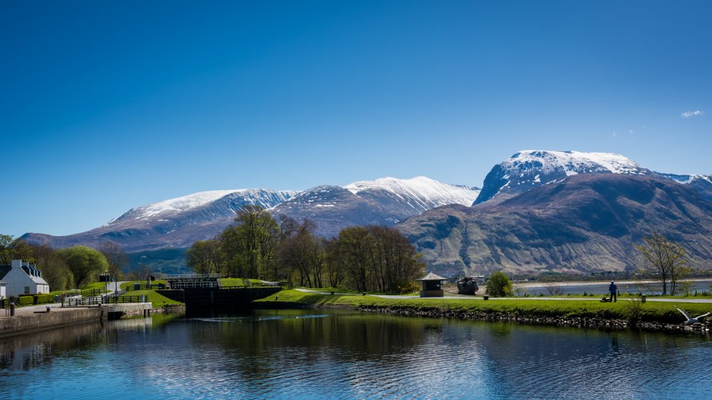
The geographical centre of Scotland lies a few miles from the village of Newtonmore in Badenoch. Rising to 4,413 feet (1,345 m) above sea level, Scotland’s highest point is the summit of Ben Nevis, in Lochaber, while Scotland’s longest river, the River Tay, flows for a distance of 117 miles (188 km).
Please share me.

Discover more from WILLIAMS WRITINGS.
Subscribe to get the latest posts sent to your email.

Every corner of Scotland you introduced feels like an invitation to rediscover the long journey of a land standing strong in the north. The scenery you show brings a sense of wonder about this wide world. It feels as if a quiet force protects its borders and ancestral stories that never fade, carried by the winds across its vast lands.
What’s interesting is that grand landscapes like Ben Nevis and the long river are not just geographical markers, but part of the lives of the people around them. The mountains and waters inspire lessons about resilience and the deep bond between nature and history that grows together through time.
The way you present it shows that its beauty is not only scenery but a cherished identity, protected with calm yet powerful love. May more people discover the meaning behind this strong and peaceful land. Thank you for guiding us through Scotland’s story and majesty with such a sincere heart.
that was beautiful Lavora you described it to a t, thanks a million.
I had to check out a map to see where this was in relation to everything else. We had a connection in our area to the Isle of Guernsey. Early settlers from there were some of our first settlers here in what is now known as Guernsey County, Ohio.
interesting Bev, never knew that, yes its an island in Great Britain, thanks for the info..
Beautiful, full of atmosphere!
awe thank you Jack.